How Drone Photography Can Transform Your Real Estate Listings
Aerial photography provides a unique perspective that helps buyers understand property layout, size, and surroundings—giving your listings a competitive edge.
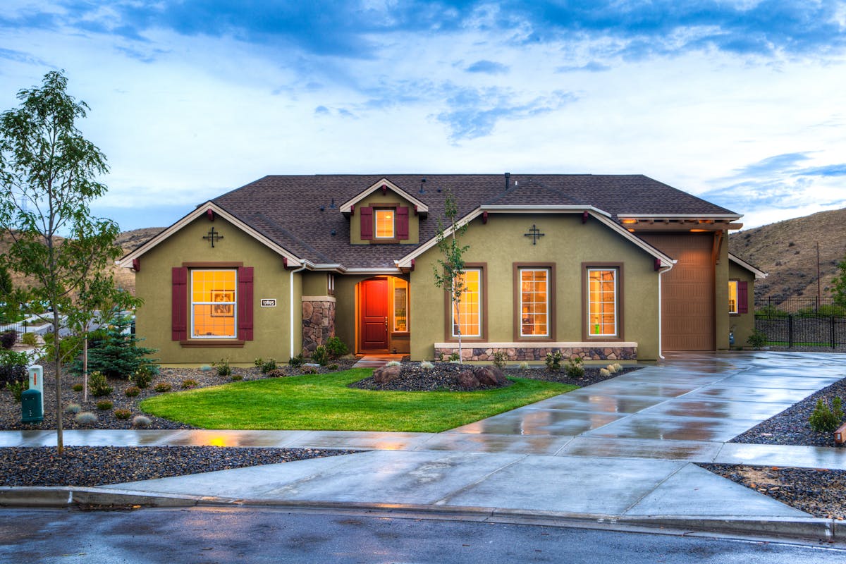
Drone photography has revolutionized real estate marketing by offering breathtaking aerial perspectives that were once only available through expensive helicopter shoots. Today, this technology is accessible, affordable, and essential for showcasing properties in their full context.
The Power of Perspective
While ground-level photography shows the beauty of a home's interior and immediate exterior, drone photography reveals the complete story. It answers questions that photos from the ground simply cannot:
How large is the property compared to neighboring lots?
What does the entire outdoor space look like from above?
How close is the property to parks, water, or other amenities?
What's the neighborhood context and surrounding area like?
Are there desirable features like mountain or water views?
Key Benefits of Drone Photography
✓ Showcase Large Properties
For properties with significant acreage, multiple buildings, or extensive outdoor features, drone photography is invaluable. A single aerial shot can show the entire property layout in a way that dozens of ground-level photos cannot.
Perfect for: Farms, ranches, estates, waterfront properties, and commercial developments
✓ Highlight Unique Features
Pools, outdoor kitchens, tennis courts, guest houses, and landscaped gardens are best appreciated from above. Drone photography captures these features in their full glory and shows how they relate to the rest of the property.
Ideal for: Luxury homes, resort-style properties, and homes with exceptional outdoor amenities
✓ Capture Stunning Views
If your property has mountain, ocean, lake, or city views, drone photography can capture these vistas in context with the home. This helps buyers visualize what they'll see from the property and adds tremendous emotional appeal.
Essential for: View properties, waterfront homes, and properties in scenic locations
✓ Show Neighborhood Context
Aerial shots can showcase proximity to desirable amenities like parks, schools, golf courses, beaches, or shopping districts. This context helps buyers understand the lifestyle and convenience the location offers.
Great for: Family neighborhoods, golf course communities, and urban properties
✓ Create Dramatic Marketing Materials
Aerial photos and videos create stunning hero images for listings, social media posts, and marketing materials. They immediately grab attention and set your listing apart from competitors using only ground-level photography.
Impact: Increases engagement rates and social media shares significantly
✓ Provide Comprehensive Property Understanding
Buyers can see the property's orientation, sun exposure, privacy from neighbors, and how the building sits on the lot. This comprehensive view builds confidence and helps serious buyers prioritize your listing.
Result: More qualified showings and fewer surprises during property visits
Drone Video: The Ultimate Tour
While aerial photos are impressive, drone video takes property marketing to the next level. A cinematic fly-over or orbit around your property creates an immersive experience that static images cannot match.
Video Advantages:
- → Showcase property flow and layout dynamically
- → Create emotional connection through movement
- → Perfect for social media and YouTube marketing
- → Reveal property features in dramatic sequence
Popular Video Styles:
- • Orbital reveals around the property
- • Ascending shots showing expanding views
- • Fly-through tours of the entire property
- • Neighborhood and amenity showcases
Professional vs. Amateur Drone Photography
Why Hire a Professional:
Licensed & Insured: Professional drone pilots hold required certifications and carry liability insurance, protecting you from legal and financial risks.
Expert Composition: Just like ground photography, aerial shots require skill to frame properly, capture the best angles, and showcase features effectively.
Regulatory Compliance: Professionals understand airspace restrictions, privacy laws, and local regulations, ensuring all flights are legal and ethical.
Weather & Timing: Experienced pilots know the best conditions for aerial photography and can work around weather challenges safely.
Professional Editing: Raw drone footage requires color correction, stabilization, and editing to look professional and polished.
When to Use Drone Photography
While drone photography can enhance most listings, it provides the greatest value for certain property types:
Highly Recommended:
- • Properties over 1 acre
- • Waterfront or view properties
- • Luxury and high-end homes
- • Farms and ranches
- • Properties with unique amenities
- • Commercial properties
- • New developments
Consider For:
- • Properties in scenic areas
- • Homes with large yards
- • Corner or unique lots
- • Properties near amenities
- • Competitive markets
- • Virtual tour packages
The Investment
Drone photography typically adds $100-$300 to your photography package, depending on the number of shots and whether video is included. Given that aerial photos can help command premium prices and attract out-of-area buyers who want to understand the property context before traveling, it's an investment with significant returns.
Pro Tip: Listings with aerial photography receive up to 68% more inquiries than those without, according to MLS statistics. The unique perspective immediately signals that this is a premium listing worth exploring.
Elevate Your Listing with Aerial Photography
Show buyers the complete picture with stunning aerial photography and video.
Ready to Book Your Photo Session?
Let us help you showcase your property with stunning professional photography